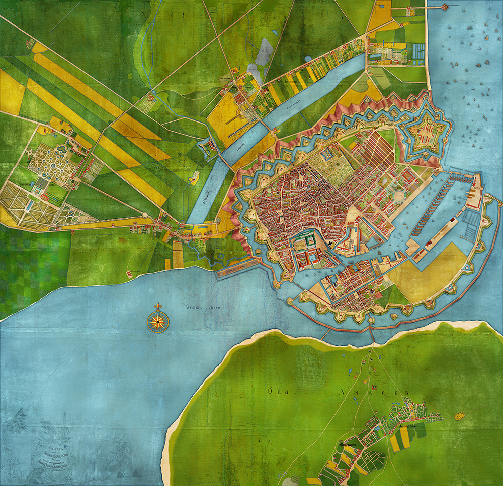
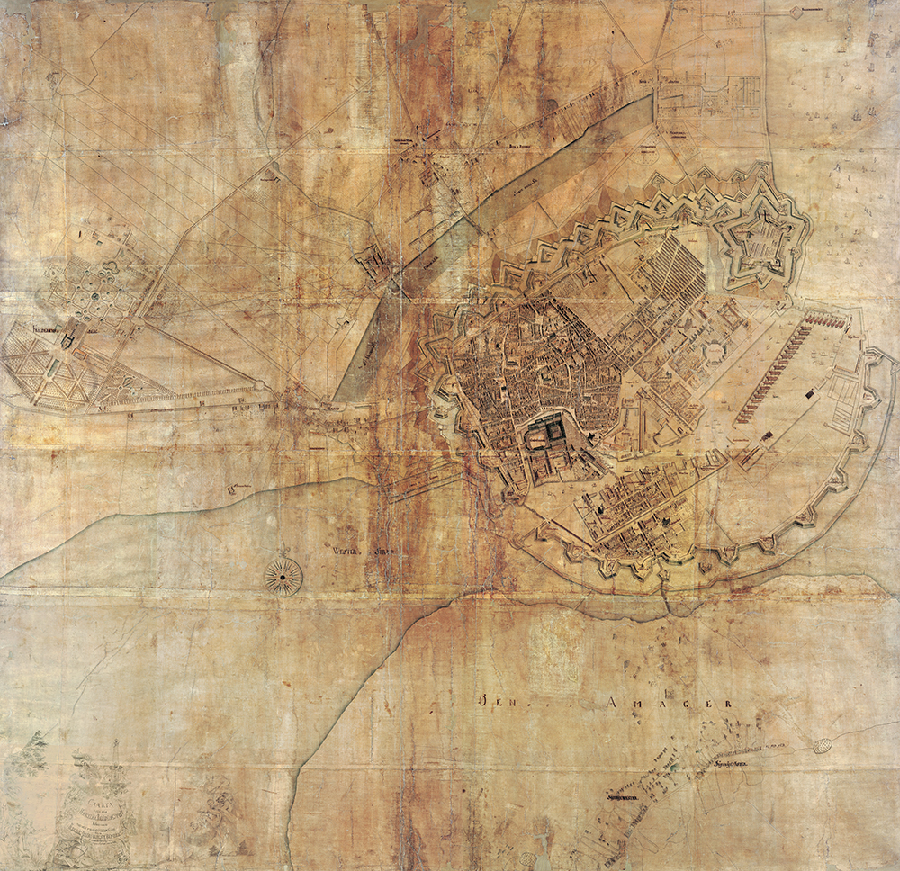
The King commissioned Christian Gedde to make a detailed map of Copenhagen. For taxation issues. But The King of Denmark also ordered an elevated version showing the buildings of Copenhagen. The original is drawn on paper and in a disaster condition. Having being exposed to smoke, fire and even worse wrong conservation techniques some parts have been permanently destroyed. However, the whopping size of the original (2,5×2,5 meter) was scanned and stored in a digital version.
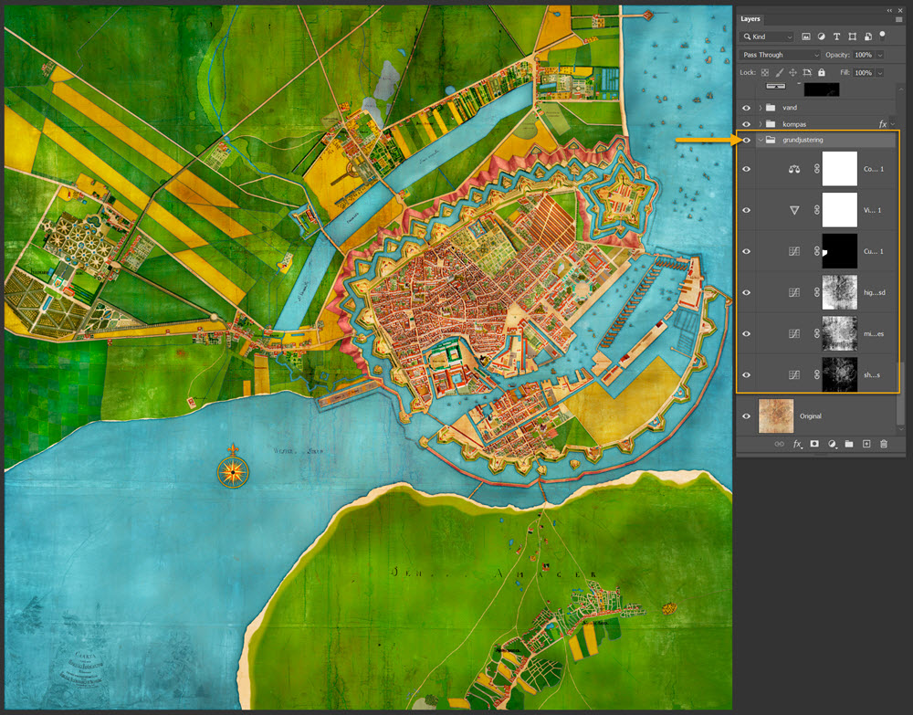
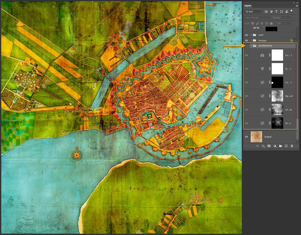
In 2020 Benny Thaibert published an artistic recoloured version where the core and the surroundings is better revealed. Apart from being immensely decorative. It was done in Photoshop. The digital version og the whopping map is 1.11GB. The finished version ended in 13.19GB. The pixel size is 34.000×33.000. Something to work with! Technical is landed with 4 ordinary layers, 35 fill layers and 11 adjustment layers. All with mask. There is also added shadow effects to the trees.
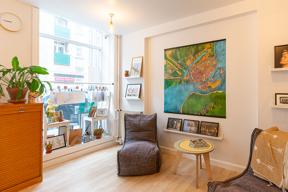
The new poster print of the map by Christian Gedde is 125x125cm. Rail supplied. The poster can be explored at the Gallery.
The old decayed original:
The coloured map can by purchased in the gallery for DKK 995,- including poster rails. Size 1,25m.